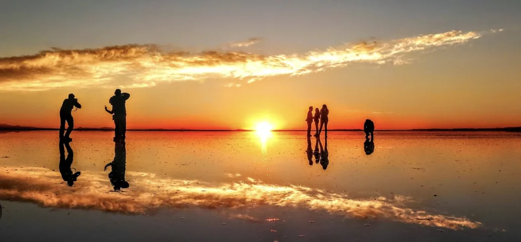
December → April
Mirror season
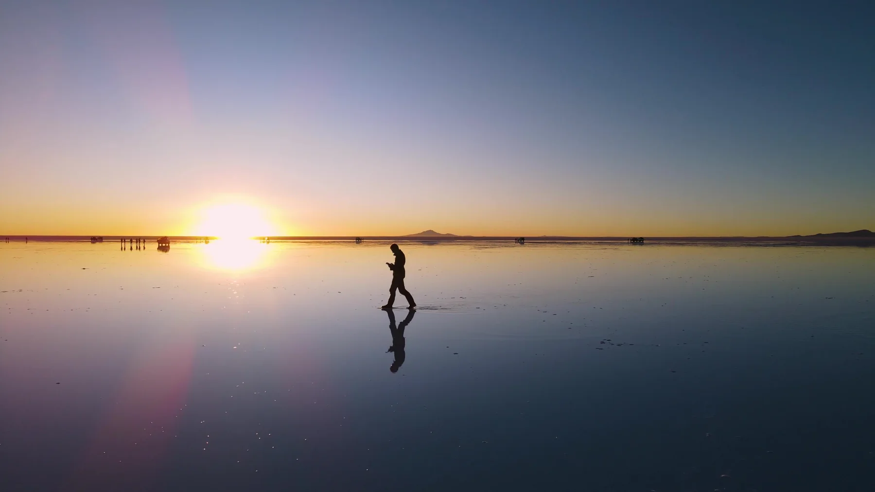
During the wetter months, a shallow layer of water can transform parts of the salar into an extraordinary reflection. It is never guaranteed day by day, and some areas may be off-limits when water levels rise.
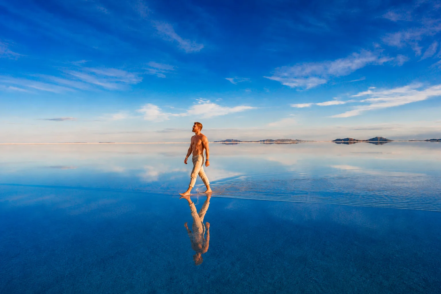
One landscape, two completely different moods. From the graphic white geometry of the dry season to the near-infinite reflections of the rains, this is the practical edit: when to go, how to arrive, altitude, cold and which route is worth your time.
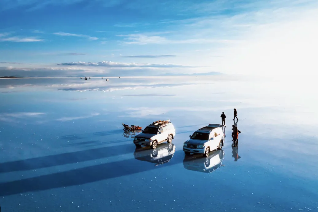
The most important choice comes before the tour company: decide which version of Uyuni you want to see. Water can turn the salt flat into a seamless reflection; the dry season exposes its stark white crust and polygon patterns.
That choice shapes photography, access, cold, driving time and the rhythm of the route. And this is the Altiplano: altitude and sharp temperature swings are part of the story, not footnotes.
Treat these dates as a climate framework. Rainfall, standing water and access vary from year to year.
During the wetter months, a shallow layer of water can transform parts of the salar into an extraordinary reflection. It is never guaranteed day by day, and some areas may be off-limits when water levels rise.
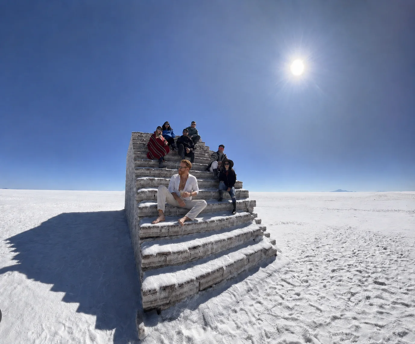
The white horizon and salt polygons take over. Driving is often more predictable, while austral-winter nights can be seriously cold.
Historical averages in Uyuni are useful for packing, but remote stops and higher points on the southern circuit can feel significantly colder.
summer / wetter
winter / drier
Uyuni and surroundings
lagoons, deserts, geothermal areas
The best arrival point depends on what comes before and after Uyuni. There is no single “correct” route.
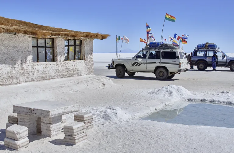
The most direct base for one-day trips and three-day circuits. Joya Andina airport and overland services concentrate local logistics.
A strong option if Bolivia is already part of the journey. It can also give you a little more time in-country before moving deeper into the Altiplano.
The cinematic Chile–Bolivia combination. Most journeys use 4x4 circuits that cross the border, lagoons and desert landscapes before or after Uyuni.
For an Altiplano crossing, the magic is in the progression of landscapes — not the number of stops. Exact order changes with operator, weather and direction of travel.
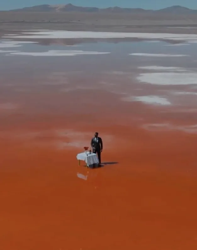
Enter the world of salt: local communities, texture, scale and sunset when logistics allow.
The journey climbs and changes colour. Flamingos, volcanic formations and long stretches of road become part of the day.
Geothermal terrain, pre-dawn cold and mineral landscapes before continuing to Uyuni or the Chilean border.
For travellers who want the salt flat and a return to base. Simple and efficient, but it does not reveal the scale of the Altiplano.
The strongest balance for Salar + the southern circuit if you are comfortable with road hours, altitude and simple overnight stops.
Worth considering for photography, slower pacing, longer stops and more control over timing — especially on a more authored trip.
Uyuni is already high, and the southern circuit climbs further. Arrive with some margin when you can, hydrate, keep the first day sensible and take worsening symptoms seriously.
Thermal base, fleece or wool, plus windproof / insulated outerwear.
Sunglasses, hat, sunscreen and lip protection.
Gloves, beanie and warm socks — especially in winter and before sunrise.
A reusable bottle and a plan to stay hydrated through long driving days.
A power bank: cold and long distances can drain batteries quickly.
In a 4x4, less bulk usually works better. Confirm luggage limits with your operator.
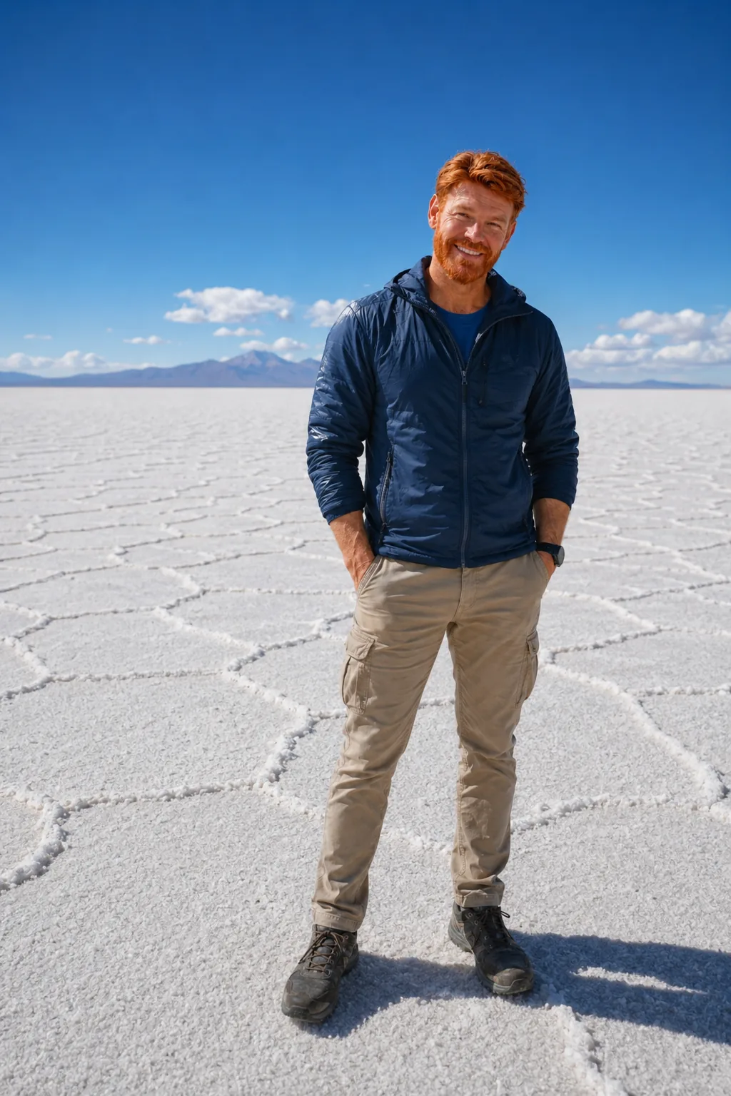
Uyuni rewards travellers who resist the checklist. Low light, reflections, long vehicle shadows, salt geometry and human scale can produce completely different images in the same day. On a private route, agree on photography time before departure.
On the official LTS channel, the Altiplano comes before the booking engine: landscape, scale, road time and field context to help you read the journey before choosing an operator and locking the route.
No. The effect needs a shallow layer of water and favourable conditions. The rainy season improves the odds but does not guarantee it.
For the Salar itself, yes. For the Altiplano, no. A three-day circuit adds lagoons, deserts, volcanoes and geothermal terrain.
It can be very well organised, but it remains remote travel: long 4x4 hours, altitude, cold and accommodation that varies widely in standard.
Yes. It is one of the most rewarding combinations, provided border logistics, circuit direction, luggage and acclimatisation are planned properly.
Area, altitude and broad climate patterns are relatively stable. Flights, border procedures, access, hotel availability and operator routes can change. Reconfirm the operational details close to departure.